Email from City Managers Office:
Thank you […] for reaching out as we navigate the upcoming holiday weekend. It is our hope that the information below addresses your concerns. We can understand how frustrating this situation is for you and your neighbors. We’ve worked to collaborate on a high-level synopsis of how the City is preparing for Memorial Day Weekend and the summer in general as it relates to the Shore Drive area and Bay Beaches.
We are excited to kick off the summer season welcoming locals and visitors alike to safely enjoy our many beautiful beaches and waterways. As always, City Departments have been planning months ahead of time in anticipation of the 2025 summer season.
What is the Public Safety plan for Memorial Day Weekend?
Police: The Virginia Beach Police Department is committed to proactively addressing the concerns surrounding the Lynnhaven Boat Ramp. Following an incident in March, Captain Gordon attended an Ocean Park Civic League meeting with Director Kirschman from Parks and Recreation. This engagement allowed us to hear directly from residents about their concerns and share our constructive response. In response to the community feedback, we have significantly increased our patrols in the area, asking officers to remain visible for a period of time when circumstances allow. This includes patrol officers completing paperwork on-site of the Lynnhaven Boat Ramp from prior calls for service which also enhance their presence within the community.
To further discourage any issues, we’ve strategically placed a police vehicle in the parking lot on occasions, serving as a visible deterrent. Additionally, the 3rd Precinct has conducted musters (shift roll calls) in the Lynnhaven Boat Ramp Parking lot which also increases visibility. Our Traffic Safety Unit has assisted with increased presence to ensure smoother traffic flow and enhance safety around the boat ramp. We have also intensified parking enforcement to effectively address violations. The feedback from the community meeting has been encouraging, demonstrating that our increased efforts are appreciated. We have also communicated our initiatives to those who couldn’t attend via outreach from the Ocean Park Civic League president. Since the March incident and the resulting increase in our presence, we are pleased to note that no further issues have been reported to the department.
Looking ahead to the upcoming weekend, we are deploying officers on ATVs, UTVs, and a Motor Carrier unit as additional resources for traffic management and beach oversight. Our marine unit, in collaboration with the Virginia Marine Police and Virginia Conservation Police, are resources that we can call upon to address boating violations. In addition, cameras at the Lynnhaven Boat Ramp are being monitored by the VBPD Real Time Crime Center. We will do our best to monitor and address conditions at the boat ramp as they arise, realizing that this will be an incredibly busy weekend for the city with a significant number of events in all four precincts that will draw upon our finite resources.
Emergency Medical Services: through the Chesapeake Beach Volunteer Rescue Squad and Ocean Park Volunteer Rescue Squad, will have EMS personnel conducting ATV/UTV safety patrols on the beaches at various times throughout the summer.
In addition, the EMS Marine Rescue Team conducts weekend marine patrols off the beaches and in city waterways throughout the summer on Fridays through Sundays.Emergency Communications & Citizen Services: ECCS is staffed 24/7/365 for informational calls, non-emergency reporting, and 9-1-1 Emergency Services.
Information: 3-1-1 or 757-385-3111
Non-emergency: 757-385-5000
Emergency: 9-1-1Fire: Fire is upstaffing to ensure Fire boats will be staffed for the holiday weekend and most weekends throughout the summer.
How will the City address Waste Management on our beaches, boat ramps, and parks throughout the weekend?
Public Works Beach Operations | Beaches
Beach Operations is operating under normal conditions.
Regular service for all beach waste containers (barrels) is being provided at beach entrances and those on the sand.
Service for these containers occurs each morning around 5:30 a.m.
Should Beach Ops receive prior notification of a large unauthorized party on the beach, they will arrange to have roll-off containers for beachgoers to utilize.Parks and Recreation | Boat Ramps and Parks
Boat Ramp staff are onsite from 5:30 a.m. until 9:00 p.m.
Service for the ramp’s dumpster is provided by a contracted commercial waste hauler and performed on a set schedule. If needed, they can request a special pick-up.
Parks Staff will be actively checking all parks and ensuring that waste containers are serviced as needed.Public Works Waste Management | Residential Household Waste
Waste and Recycling Collection Services for the residential homes in the Shore Drive/Bay Beach areas occur on Wednesday.
To find when your next recycling service day will be, visit https://VirginiaBeach.gov/wastemgt and use the “Find My Trash Day” tool.
For service day reminders, residents can sign up to receive text or email notifications at VB Connect
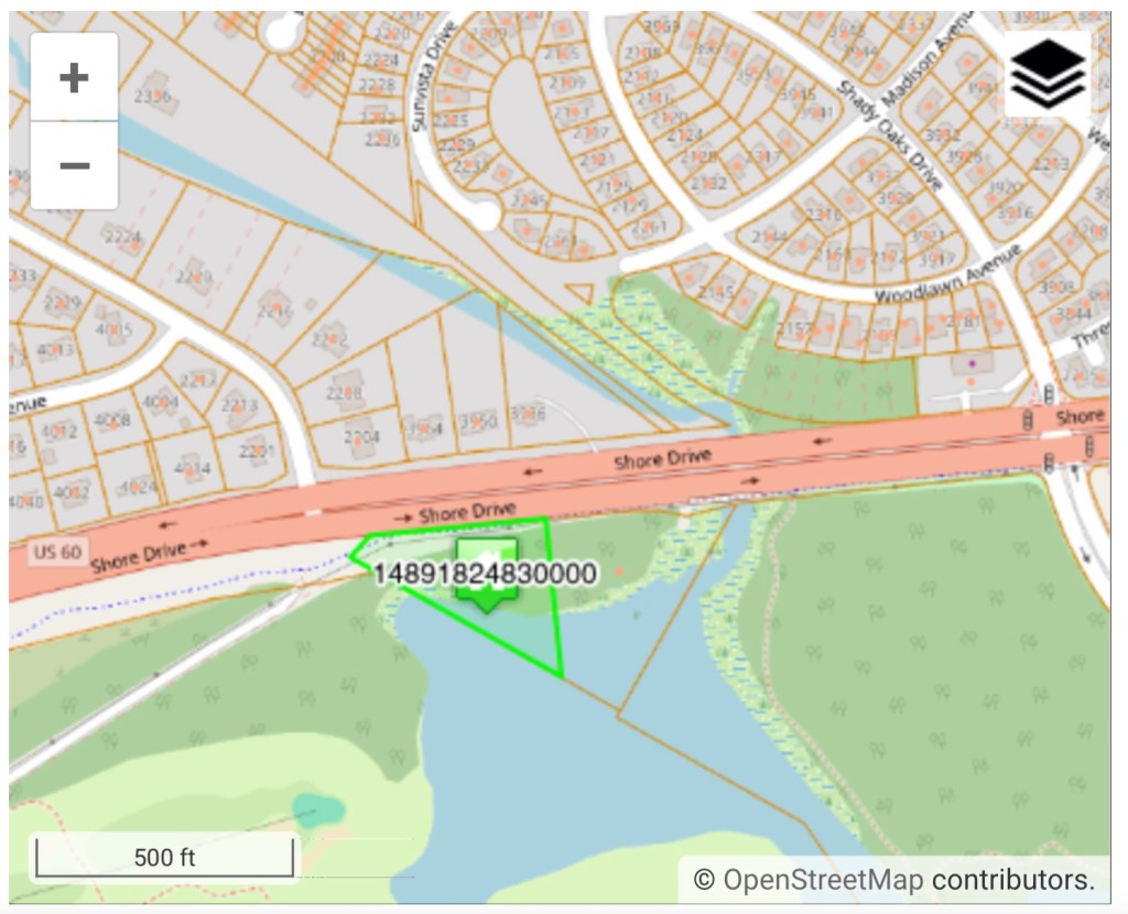
To report a miss in service (trash, recycling, bulky or yard waste), residents can create a Service Request at https://vb311.virginiabeach.gov/assist/servicetypesWhat happens if the Lynnhaven Boat Ramp Reaches Maximum Capacity
Ramp Signage: Parks and Recreation (PAR) will change all four ramp signs to full to indicate no availability. These are drop down “full” signs located on Shore Drive in the east and west bound directions.
Staff at Entrance: PAR will place two staff members at the entrance to the boat ramp, equipped with radios for communication. Staff are there to assist with the notification to boaters that the ramp is full and to continue traveling on East Stratford Road to exit the neighborhood.
If upon exiting the parking lot traffic becomes a problem, staff and/or residents are asked to notify Police to assist in either flushing the traffic out onto Shore Drive and out of the neighborhood. If a vehicle is unoccupied, Police will ticket the violator.
Barricade Road: PAR will use crowd control barricades to close off Piedmont Circle access into the facility. Once open spaces are available then staff will let trailers begin entering.
Car Lot and Trailer Monitoring: PAR is going to consistently check the car lot and trailer numbers to ensure proper parking and space utilization.
Launch and Recovery Monitoring: PAR will ensure individuals who are launching and recovering boats are exiting the ramp area promptly and moving to the designated areas.
Ramp Control Staff: PAR will station one staff member for ramp control to maintain order and assist with operations.
Staffing: Parks and Recreation has hired an additional staff person to support the Lynnhaven Boat Ramp and Supervisors are scheduled proactively during the busiest times.Please let me know if you need anything additional.
Thank you,
CITY MANAGER’S OFFICE
Desk | 757.385.4242 | CMOffice@vbgov.com
City Hall, Building 1, Suite 2017
2401 Courthouse Drive | Virginia Beach, VA 23456
Hopefully these plans works this holiday weekend and the entire summer before people die.