Category Archives: Safety
“A Virginia Beach couple has been charged after their one-year old pit bull mix attacked and killed a six pound yorkie named Stoley on Chicks Beach.”
View coverage at WTKR.com including 2 video reports about this tragic event.
Opinion Column at Piltonline.com.
Report the bite/attack to Animal Control at (757) 385-4444.
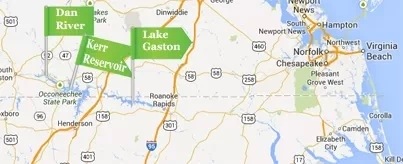
“Since learning of the contaminants in the Dan River, city officials have halted all pumping at the Virginia Beach Lake Gaston intake station until more information becomes available. The City’s water supply and quality have not been compromised.”
Powerpoint of bridge construction presentation at SDCC meeting in January ’14
Thanks to Christopher J. Wojtowicz, P.E., Project Manager City of Virginia Beach Department of Public Works for his detailed presentation at our SDCC meeting in January.
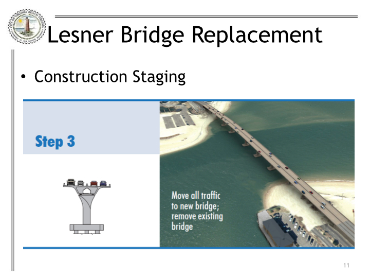
Construction to start April 2014
View more links about bridge construction at SDCC.info/Hot.
Ocean Park Drainage Improvements (CIP 7-063) update
Email about the project:
Dear Vice Mayor Jones, Ms. Walston, Mr. Vaughn, and Mr Kassir,
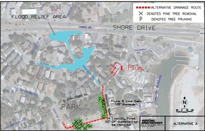
A public information meeting was held on Thursday, February 23, 2012, to review three alternatives for relieving tidal flooding up to elevation 5 in the vicinity of the intersection of Dupont Circle and Dinwiddie Road. Subsequent to that meeting the Ocean Park Civic League endorsed Alternative A. Alternative A proposes a 27-inch storm drain along Dinwiddie Road from East Stratford Road to Lockhaven Crescent (paper street), then westward along Lockhaven Crescent (South edge of Lockhaven Neighborhood Park) to the Ocean Park Stormwater Pump Station on Winston Place in the vicinity of the proposed Brock Environmental Center parking lot.
Through coordination with the Chesapeake Bay Foundation, City of Virginia Beach Department of Parks and Recreation, City of Virginia Beach Public Works, and public and private utilities, plans have been developed for the Ocean Park Drainage Improvements. The plans have been given to one of the Department of Public Works annual services contractors and a work order is about to be executed for the work. Construction is scheduled to commence this month and continue until June 2014.
The attached notification letter is being mailed to 178 residents who live on East Stratford Road, Dinnwiddie Road, Rockbridge Road, and Chesterfield Avenue and is provided for your information. You are copied on the notification letter.
If you have any comments or questions please do not hesitate to contact me or my supervisor, Mike Mundy, at 385-4131.
Sincerely,
Michael S. Bumbaco, P.E.
PW ENGINEERING / WATER RESOURCES
mbumbaco@vbgov.com
Direct: (757) 385-1978
Office: (757) 385-4131
1 page PDF of letter sent to homeowners.
Delegate Stolle (R-VA Beach) and Senator Locke (D-Hampton) Introduce Resolutions to Create a Joint House & Senate Subcommittee Addressing the Growing Threat of Recurrent Flooding
News from the William & Mary Law School Virginia Coastal Policy Clinic via Tidewater Current:
BREAKING NEWS:
Delegate Stolle (R-VA Beach) and Senator Locke (D-Hampton) Introduce Resolutions to Create a Joint House & Senate Subcommittee Addressing the Growing Threat of Recurrent Flooding!
“NORFOLK – Delegate Christopher P. Stolle (R-Virginia Beach) and Senator Mamie E. Locke (D-Hampton) today announced the introduction of a legislative resolution creating a joint Senate and House subcommittee fostering the development of a comprehensive and coordinated flood mitigation action plan. The proposed joint committee implements a recent Virginia Institute of Marine Science recommendation that the Commonwealth intervene to assist regions and communities attempting to manage recurrent flooding. VIMS is part of the College of William and Mary. The resolutions (HJR16 And SJR3) will be considered during the 2014 session of the Virginia General Assembly scheduled to convene on Wednesday, January 8.
Stolle and Locke’s proposal comes on the heels of Super-Storm Sandy, October 2012, and recognizes the importance of developing and implementing a coordinated statewide planning effort addressing severe and ongoing flooding events as well as a major event like Sandy. Several nations and Mid-Atlantic States have undertaken similar planning efforts; Stolle’s and Locke’s legislation ensures that the Commonwealth undertakes important planning initiatives.
Speaking about the announcement, Senator Locke said, “Water doesn’t recognize boundaries. As a former Mayor, I know that our regions and localities require statewide planning assistance. Although I live and work in Hampton Roads, ground-zero for recurrent flooding, our planning efforts must assist the entire Commonwealth.”
Delegate Stolle added, “We have all seen the destruction that can be caused by major hurricanes or our frequent Nor’easters. We can no longer simply hope and pray that our lives and property will be spared; it is time to plan and prepare. This Joint Subcommittee will ensure that the Commonwealth begins to develop and implement a comprehensive strategy to protect both our citizens and our property. I am committed to bringing all interests, including business and military, to the planning table with the focus on protecting lives and property.”
Although the consequences of a severe storm may provide the impetus for this work, recurrent flooding threatens many areas of the Commonwealth. Virginians from across the state regularly battle recurring flooding resulting from specific events including major rain storms and storm surges. The VIMS review of global flood management strategies suggests that it is possible for Virginia to have an effective response to increasing flood issues but it takes time, estimated at 20-30 years, to effectively plan and implement many of the adaptation strategies. They include planning, management, and engineering strategies, such as infrastructure projects like hard barriers and other natural systems to protect coastal communities.
As proposed, the joint subcommittee, comprised of Senate and House members, will meet for two years and will be comprised of 15 members: eight legislative and seven non-legislative. The non-legislative members include three business leaders, two local officials representing flood-prone communities, one military official representing a federal installation and a member of the environmental community.
Governor Robert F. McDonnell’s Secure Commonwealth Panel established a Recurrent Flooding Subpanel last spring. Comprised primarily of technical and operational experts from federal, state and regional agencies, academia, and local levels, the panel is housed in the cabinet Office of Veterans Affairs and Homeland Security. The proposed legislative committee will work closely with the panel to develop and implement short and longer-term flood mitigation strategies. Senator John C. Watkins (R-Powhatan) and Jim Redick, the City of Norfolk’s Director of Emergency Preparedness and Response, co-chair the panel. Speaking of Senator Locke’s and Delegate Stolle’s announcement, Senator Watkins said, “This legislation is an important step to ensure that the Commonwealth is working diligently to protect people, property and livelihoods.”
Earlier today, the Virginia Housing Study Commission, comprised of business and government leaders endorsed the pending legislation. Michael L. Toalson, Chief Executive Officer of the Home Builders Association of Virginia and a member of the Commission stated, “My members welcome the opportunity to work with the Commonwealth and businesses to prepare for major flooding events. A major storm will negatively impact millions of Virginians and has the potential to displace untold number of homeowners.”
Senator Locke chairs the Virginia Housing Study Commission.”
The resolutions (HJR16 And SJR3) will be considered during the 2014 session of the Virginia General Assembly scheduled to convene on Wednesday, January 8.

Photo Credit: Friends of Lynnhaven Colony in Facebook. Starfish & Cape Henry. Photo taken ~1130 Monday during Sandy.
The scoop about the original Station #4
From Wally D.
This was the very first Chesapeake Beach Volunteer Fire & Rescue. Our family’s 1956 Pontiac Station wagon is on the far right. My dad (Fire Capt.) had it outfitted with red lights on top, and blue lights in the grill. This first station was on Lake Drive until 1963, when it was torn down to make way for the Ches. Bay Bridge Tunnel. The 2nd one ( unused ) is still on Pleasure House Road.
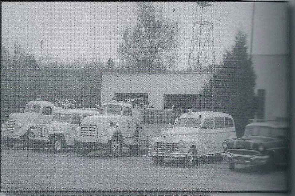
Thanks to Wally D. for pic too.
Chesapeake Beach Fire & EMS Station 4 dedicated on Weds
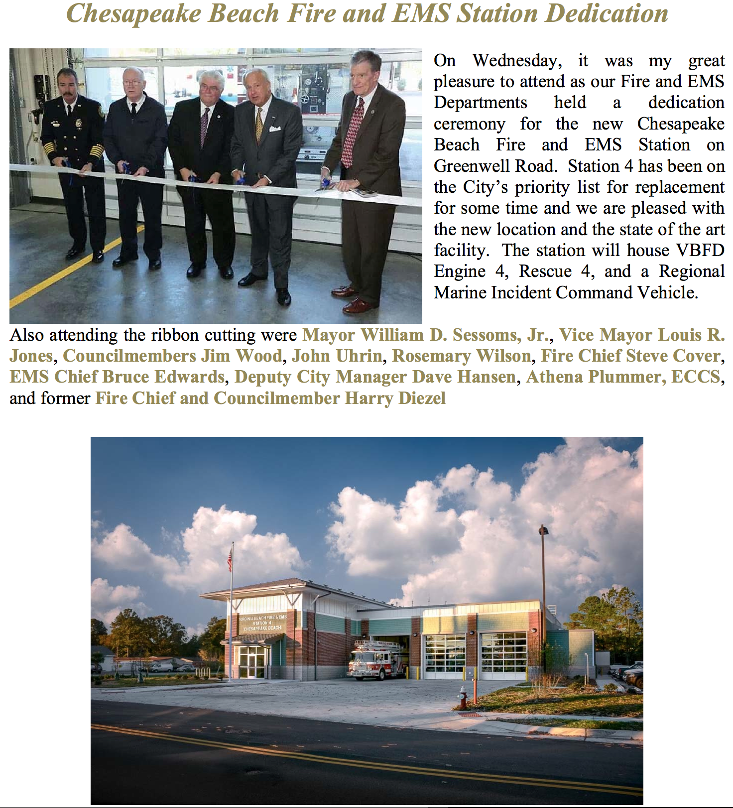
from City Manager’s Update which comes out weekly
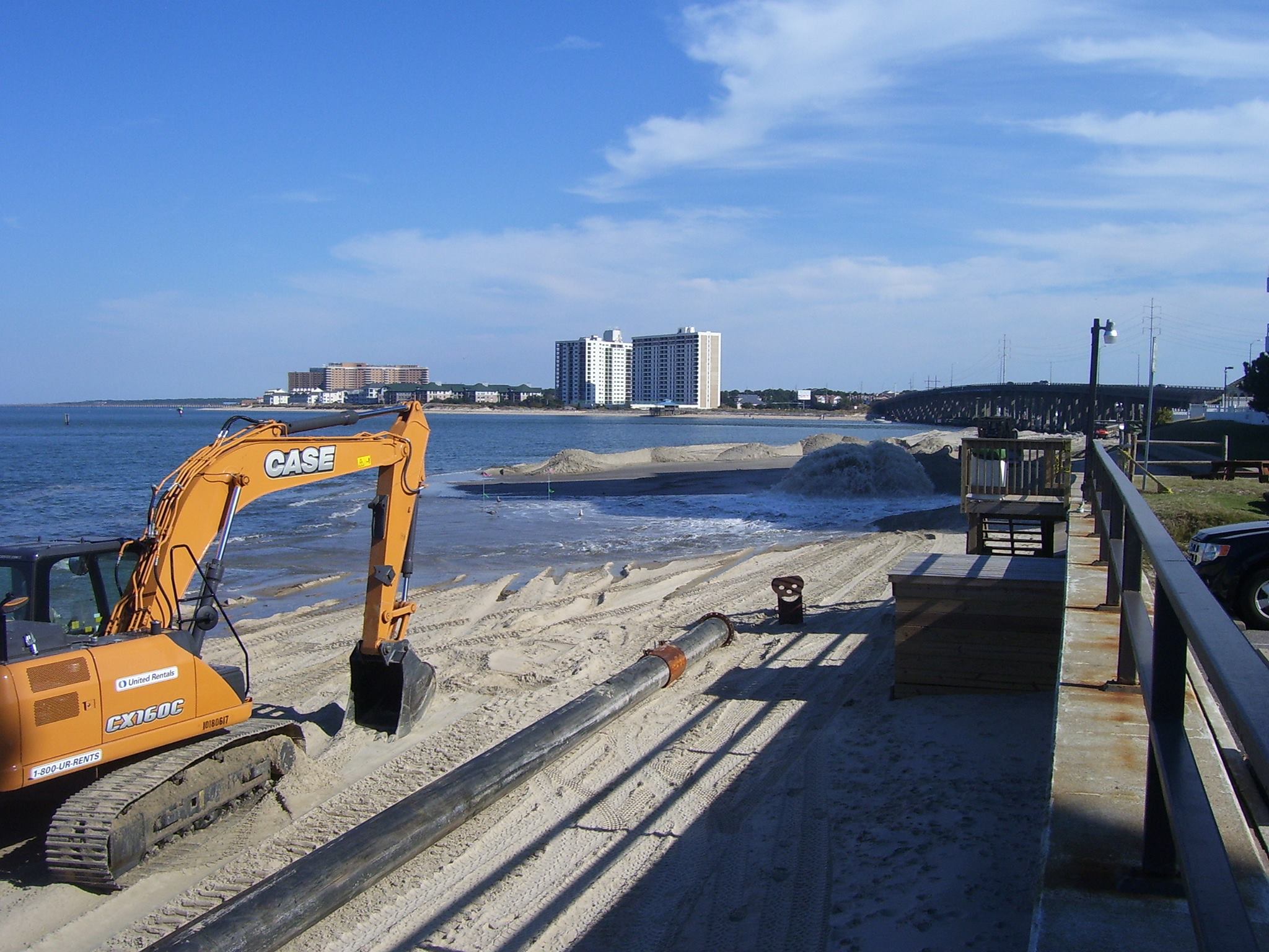
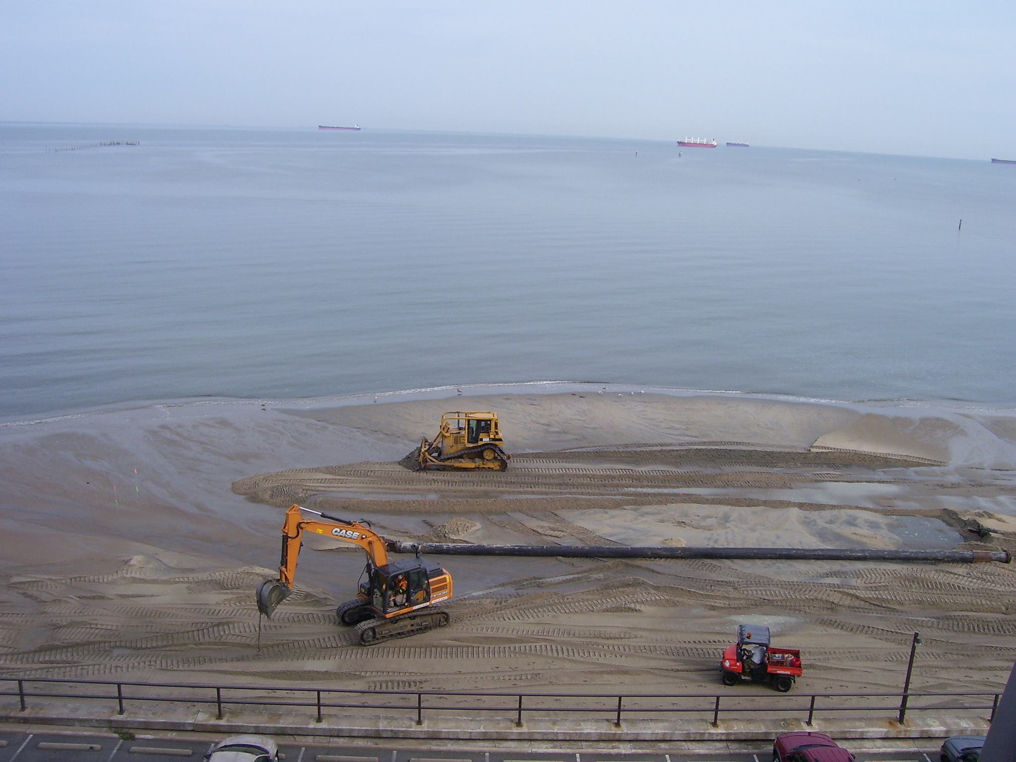
Coverage about Lynnhaven dredging, ending in January, including great photos
Read entire article at Pilotonline.com.
Photo Credit: Margaret Allen Inge for all the photos below.
Thank you!
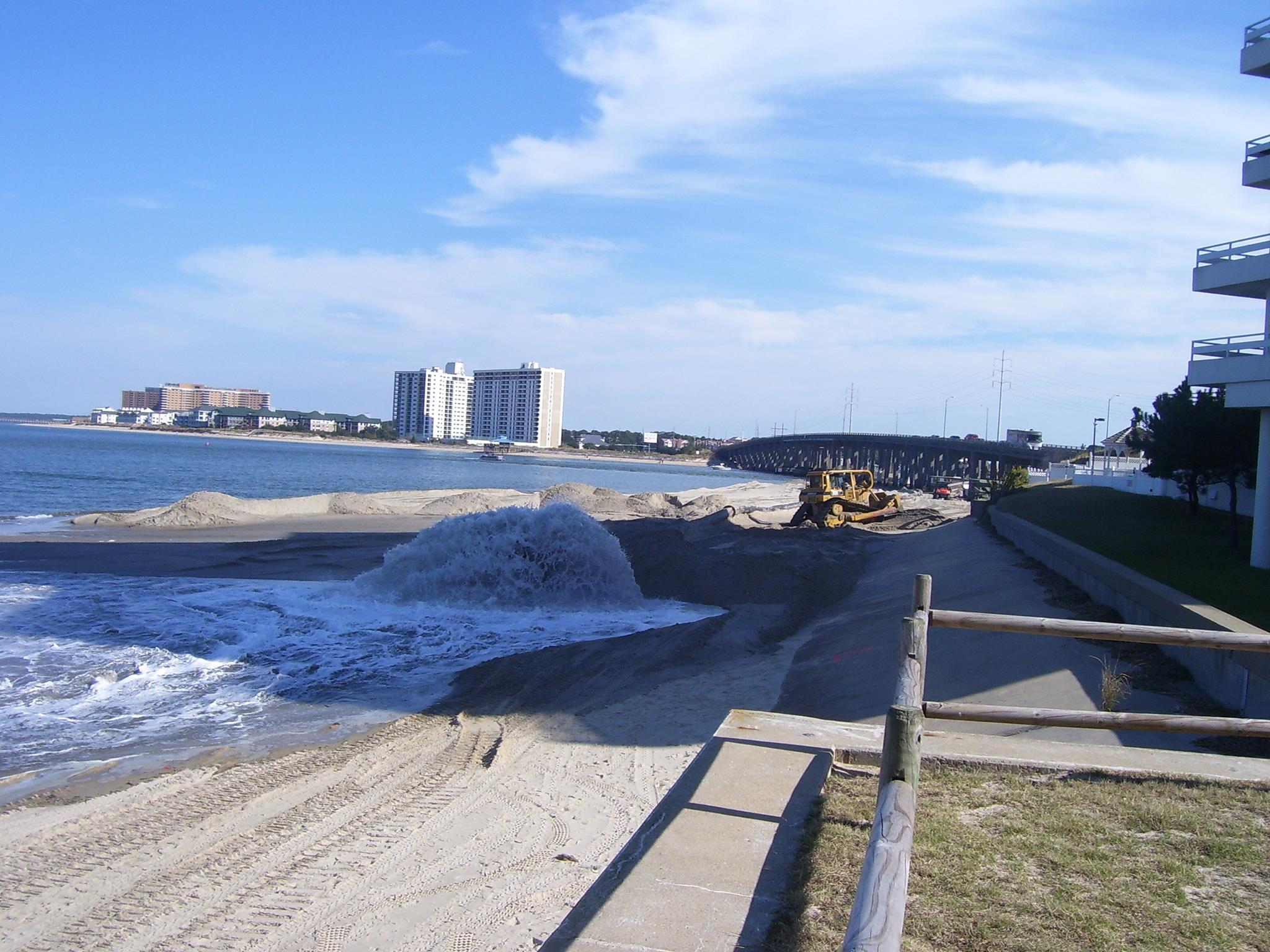
Photo Credit: Margaret Allen Inge
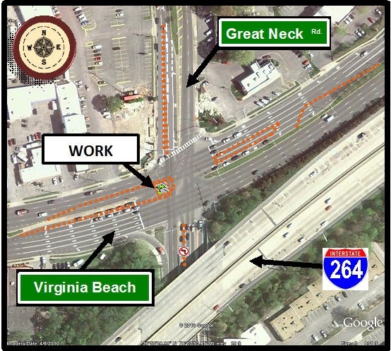
Starting about 7pm tonight “Major Traffic Delays and Congestion Expected at Virginia Beach Boulevard and Great Neck Road Intersection Beginning Wednesday Night” thru Thursday rush hour if all goes well
There will be significant traffic congestion in and around the intersection that will cause traffic disruption and delays. Morning and afternoon rush hour traffic should expect delays in excess of 10 minutes.
Motorists should consider using alternate routes while the water main is being repaired. Possible routes include: First Colonial Road, Potters Road, International Parkway and Lynnhaven Parkway.
Police officers will be on the scene to help direct traffic. Advanced warning signs will be posted beginning today advising motorists of the temporary traffic patterns.
Weather permitting, repairs are expected to be completed by 6 p.m. on Thursday, Nov. 21.
For additional information, please contact James M. Cherry, Utility Engineer at (757) 650-5058.
This will not be fun is a huge understatement.
Legislative Prorities to Build a Better Virginia Beach. The proposed package is public.
Read the entire document at VBGov.com.
Read on to learn the city’s stance on key issues, the reason behind the city’s position, and how these issues might impact your life. You can help by contacting your representative to share your thoughts on these important issues.
One example of what the City will be asking of the Commonwealth.
10. Preservation of Private Riparian/Littoral Rights (Title 28.2)
Sponsored by Council Member James L. WoodRequest: The General Assembly is asked to enact a new section in Title 28.2 to clarify the riparian/littoral status of private property owners after public sand replenishment projects on public beaches and waterways.
Why? Virginia Beach has undertaken several sand replenishment projects along our shores, and additional new projects are planned to project homes, business and other infrastructure currently at risk due to erosion and flooding. In Virginia, lands that are submerged below the water line belong to the Commonwealth (§ 28.2-1200), and it has been claimed that when sand is placed on the water’s edge, the Commonwealth continues to own the strip of emerged land caused by the sand placement, thereby severing private property owners’ riparian status. The city offers this legislation as a means to clarify the riparian status after a sand replenishment project and to maintain the status quo for private property rights when public projects involve the placement of sand on public beaches and easements.
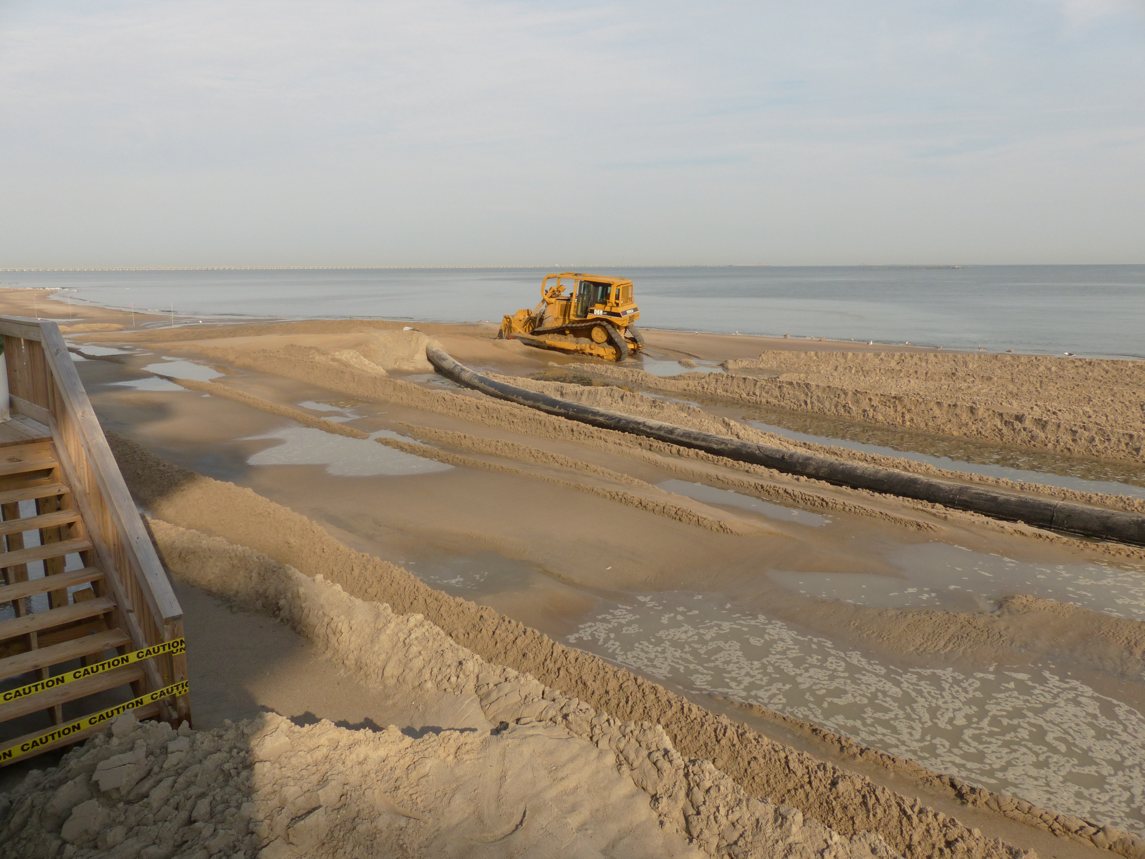
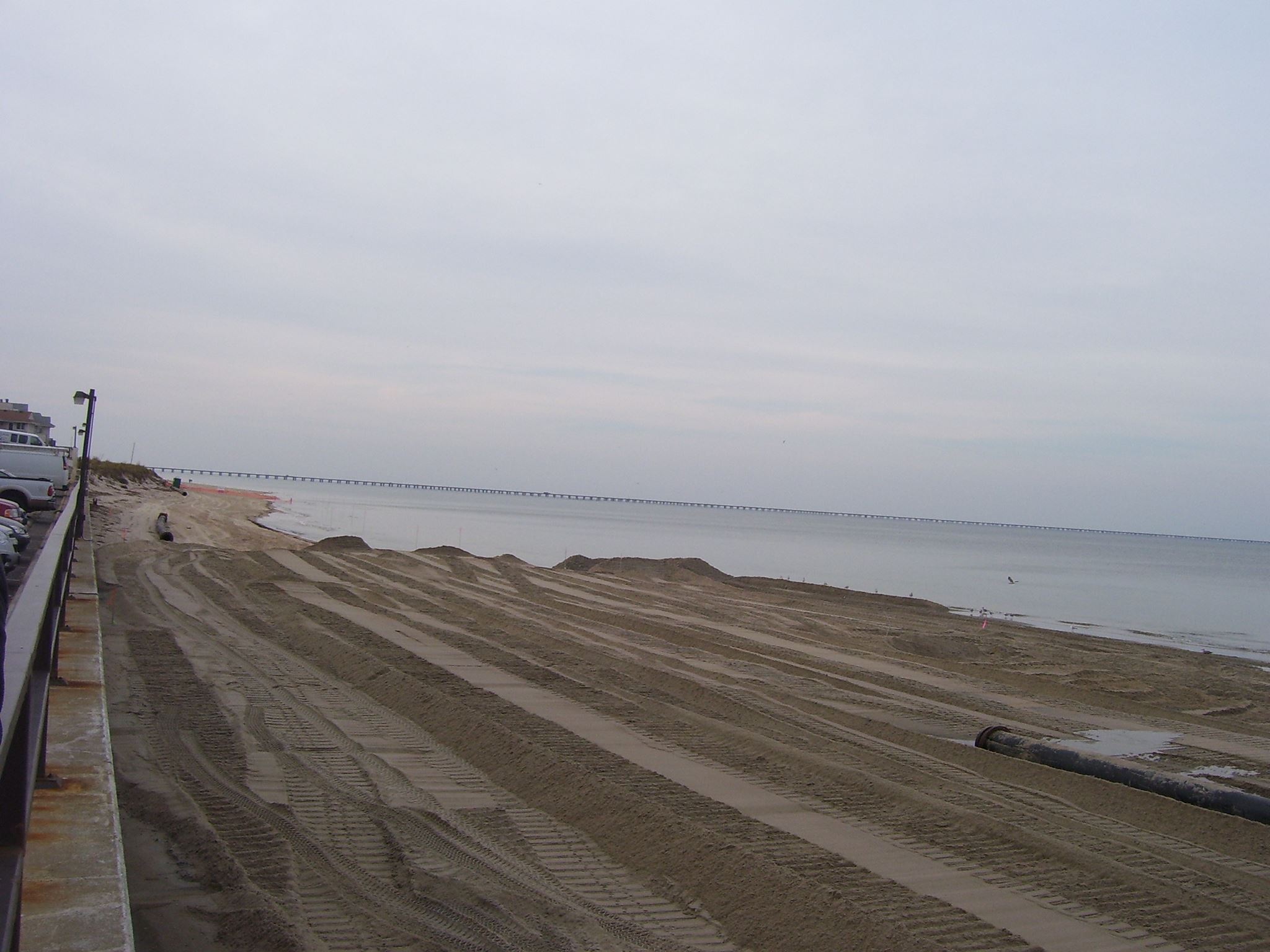
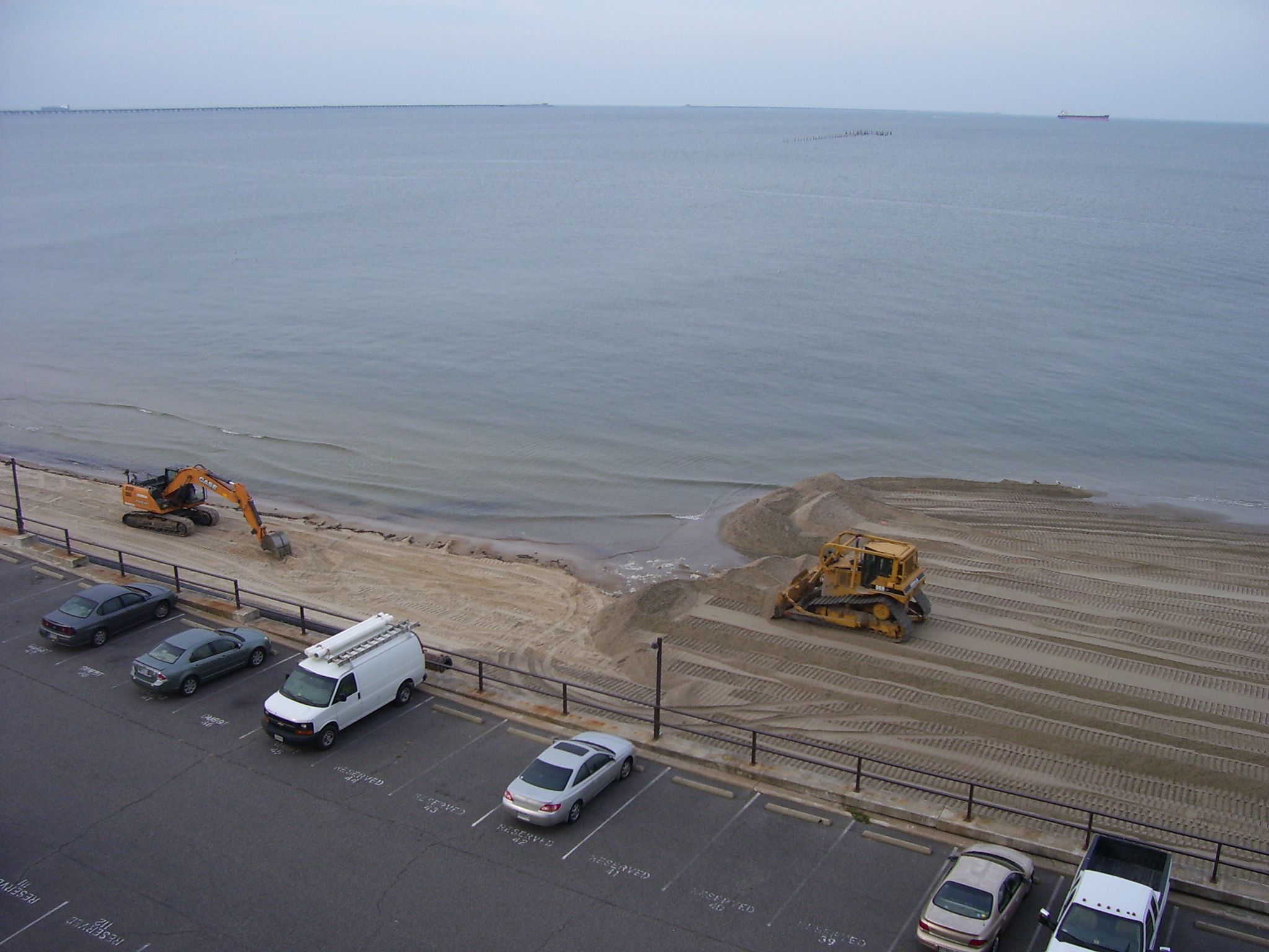
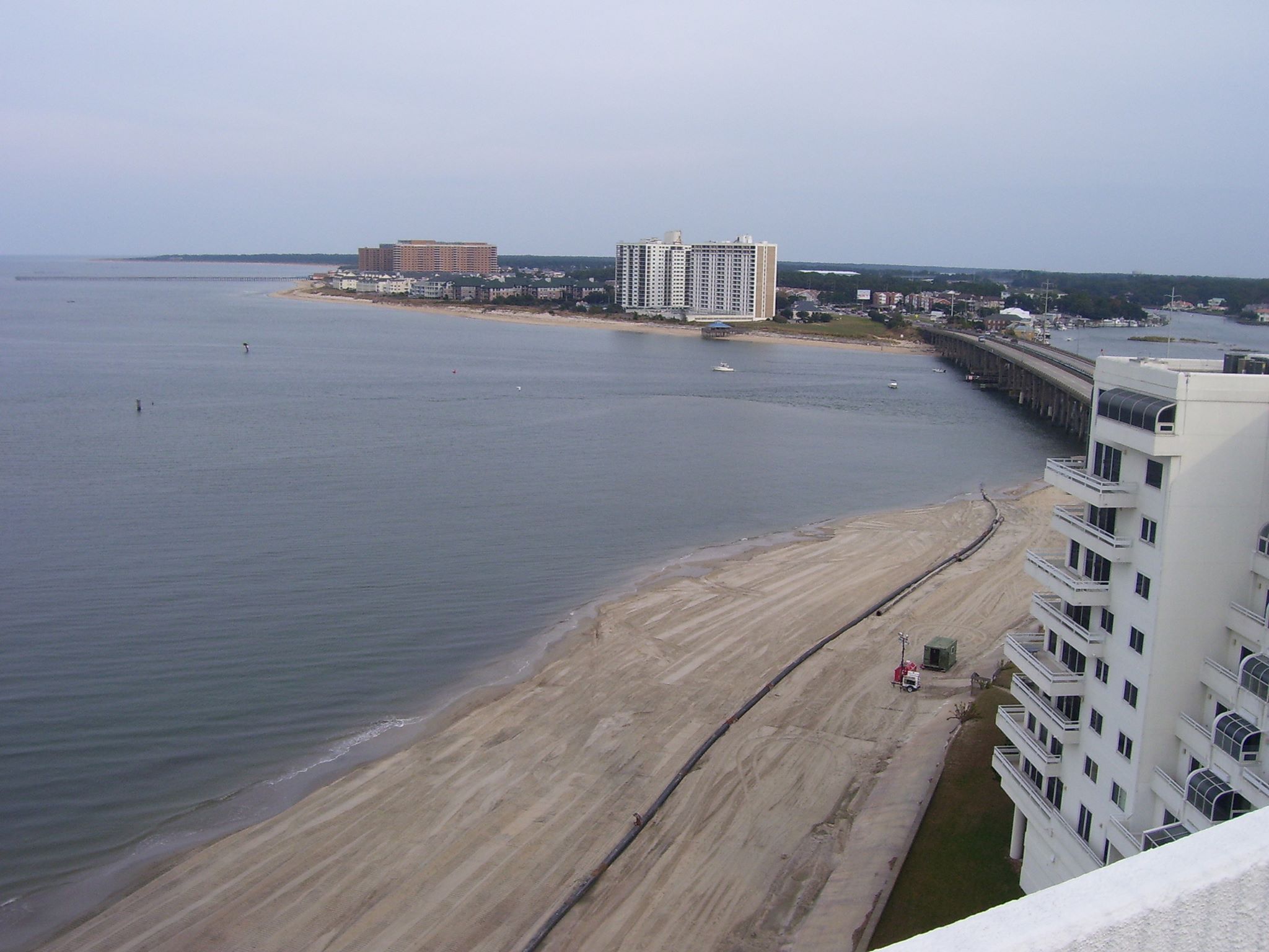
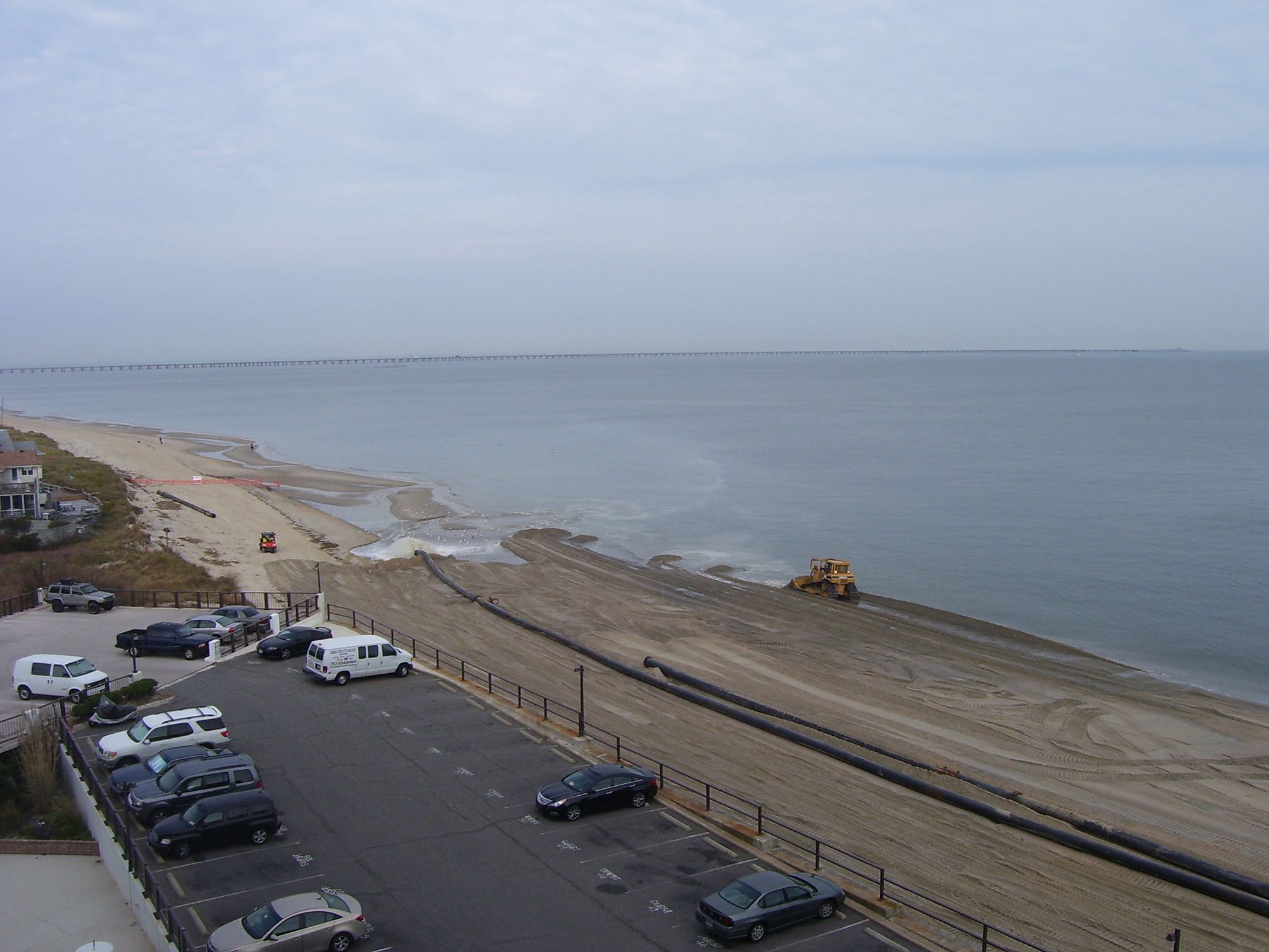
Beach replenishment thanks to needed dredging in the Lynnhaven
Shore Drive’s east & west bound bike lanes thru First Landing cleared
Yippie!
Thanks!
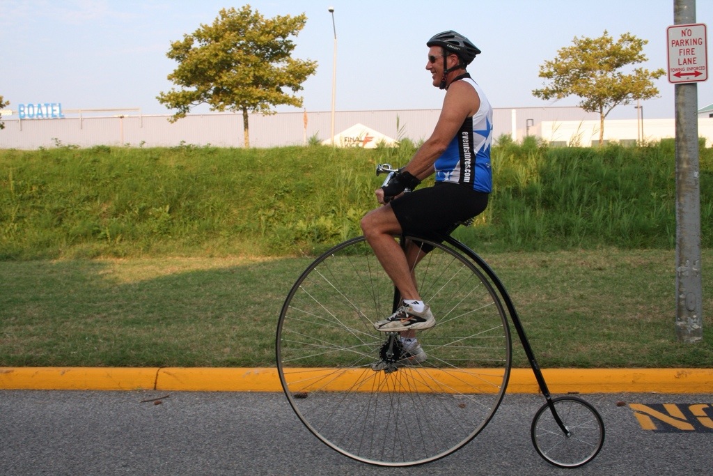
Photo Credit: Tour de Virginia Beach Day
2014 Legislative Agenda – Recurring Flooding Item letter from the Mayor
Read the entire 75 page PDF which includes the Mayor’s letter, slides, etc.
As council is well aware, the recurrent flooding issue is of great concern to our citizens.
So the Mayor is asking City Council to add an additional item for VB’s legislative agenda.
…but to ask to support the authorization of the study.
Legislative Request # 1: The City of Norfolk requests the General Assembly to establish and fund a Joint Study Committee to further investigate and make recommendations on recurrent coastal flooding in Virginia.
A slide from the 75 page PDF
The VIMS Report concludes Virginia localities are not adequately equipped to address and
implement meaningful flood mitigation strategies required for responding to predicated
relative sea level rise on their own. Within the VIMS Report, there are a series of simulations
that show impacted areas as influenced by: a) storm surge, b) sea level rise, and c) the
recurrences of storms making land fall within the region. All of these factors both individually
and collectively, are anticipated to increase the frequency and the severity of coastal flooding
events. This will increase damages to public and private property, amplify impacts to public
safety, and increase disruption to individuals and the economy. Left unaddressed, the
Commonwealth can reasonably anticipate that it will see significant and profound coastal
flooding now and into the immediate planning horizon.
Buoy wash up coverage on WTKR including a blooper vid
The non-blooper vid at WTKR.com here.
Apparently the buoy washed in from Thimble Shoals.
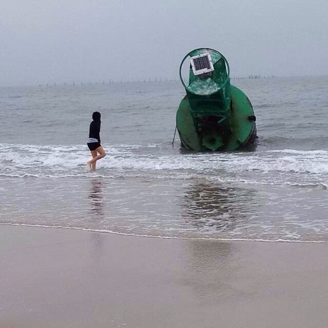
Photo Credit: Laurie Rogers
Yup, it’s huge!
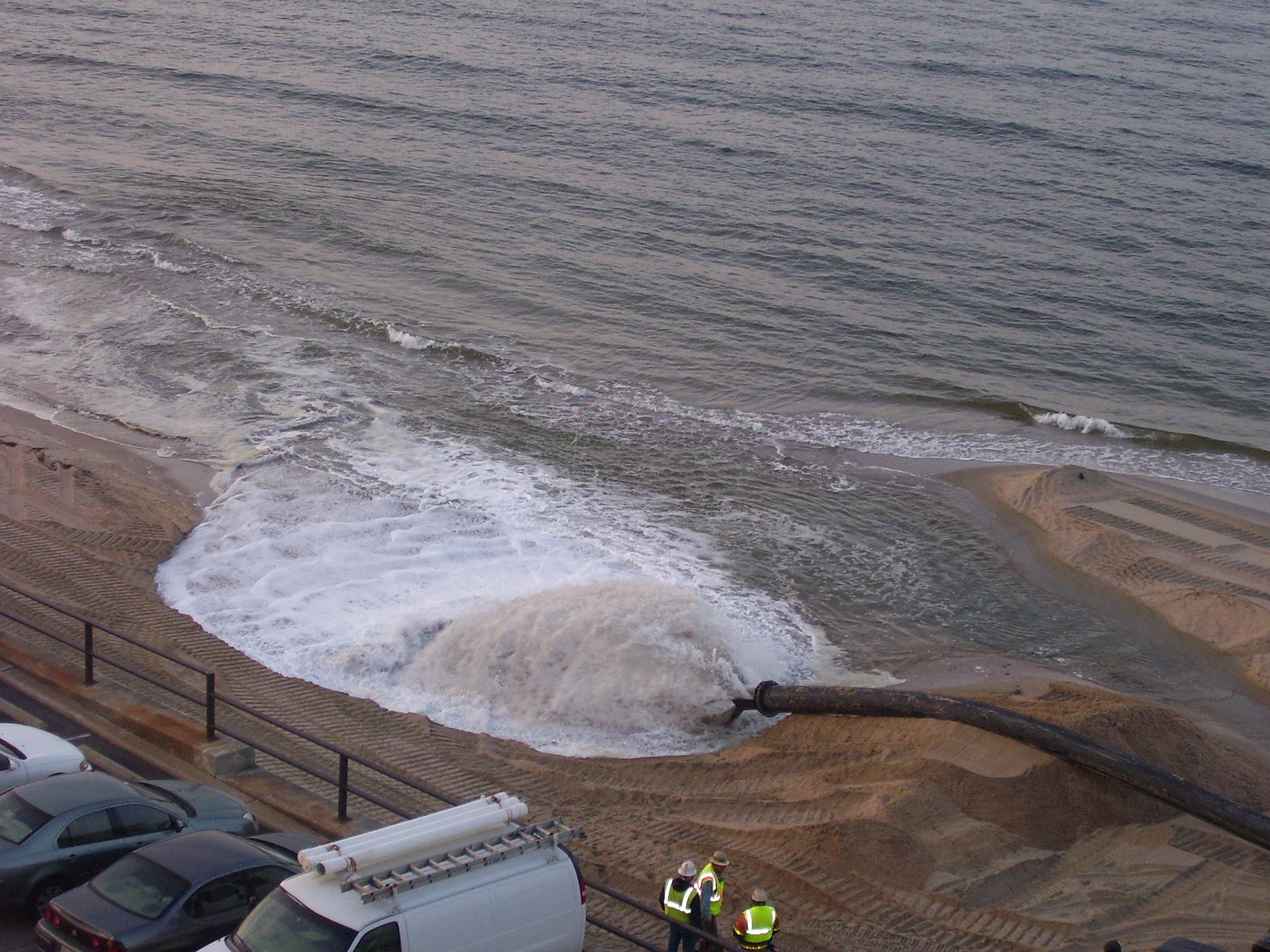
Lynnhaven Inlet Dredging to Begin in 30 days. Sand to be placed on Ocean Park Beach.
According to an email City staff sent to Mrs. Dorinda Ennis of 3356 on the Bay, the Lynnhaven Inlet dredging, which was scheduled to take place last year but was delayed because of funding problems, will start within the next 30 days. Please see the City staff email below
According to David Jarman….
Here is the feedback from our Coastal Group that handles the dredging work:
- The Corps inlet contract has been awarded. Notice to proceed will be issued 9/10/2013 and work will begin within 30 days. The dredged sand will be placed on the Ocean Park Beach. Project completion is anticipated by the end of February. If necessary, truck hauling from the boat ramp stockpile to the Ocean Park Beach will be available once the Corps dredging project is complete. This work would begin in March and last for a few weeks, again as needed.
- Crab Creek bids were opened two weeks ago, work will begin in November, with completion by the end of March.
Nor ‘easter coverage at Lynnhaven Boat Ramp & washed up buoy #5
The walkway under the Lesner at the beloved Lynnhaven Boat Ramp & Beach Facility was damaged again.
Video including damage at WTKR.com.
National Weather Service page including forecast, coastal advisories and more.
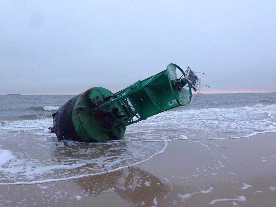
Washed up on Ocean Park beach! Yes, the USCG was notified.
Photo Credit: Trista Riley Imrich of LRNow
To put it in perspective.
3 people injured in crash on Shore Drive in Va. Beach – Thurs. Sept. 26th at 8:30pm
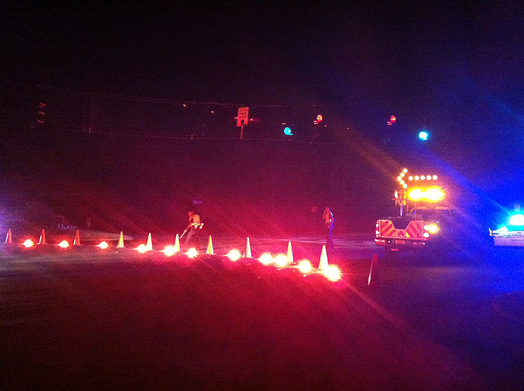
The Virginian-Pilot is reporting that 3 people were injured in a crash tonight. To read the article, please click here
Public Meeting on Stormwater Management Program and Floodplain Ordinance Set for Sept. 26
The meeting agenda will include the following:
· The Floodplain Ordinance is being changed to meet the most recent FEMA requirements. An overview of the changes will be presented by city staff.
· Stormwater Management Program changes, including a revised ordinance and technical design criteria, are required by state law.
“Staff will continue to brainstorm ideas with the stakeholders and the contractor (once determined) in order to try to find a resolution to this issue.” Phase 3 construction of Lesner Bridge.
The following information has been received from the city about bicycle and pedestrian access on the Lesner during construction: “Public Works staff has been coordinating with Mr. Wayne Wilcox, who is the City’s liaison to the BTAC. Although several options have been explored to provide temporary pedestrian and bicycle access across the bridge, during Phase 3 of construction, staff has not found a safe, buildable and economically-feasible solution. Phase 3 is the critical phase because the entire width of the bridge is needed to handle the four lanes of traffic, and there is no additional space for a sidewalk or a bike lane. Staff will continue to brainstorm ideas with the stakeholders and the contractor (once determined) in order to try to find a resolution to this issue.”

Man exposes himself to 2 girls on bike path.
From Cape Story Neighborhood Watch:
The following received from a resident on Beech St.
On Tuesday, at approximately 2:30pm, two teenage girls disembarked from the school bus.
They stopped to talk before parting ways at the bike path.
A white male in his mid-40’s walked past them on the bike path with his private parts exposed.
When my daughter started walking down the bike path toward home, he turned around and followed her.
She ran back to her friend and they ran to the friend’s home where an adult was waiting.
Police were called and a report was filed.
The man was wearing black athletic shorts, a gray t-shirt, white walking shoes and knee socks. He had no facial hair.
Please remember to call 911 if you see a crime in action and call 385-5000, option 1, to report crimes after they have occurred or to report any suspicious activity. Also, please call or email the NW Coordinator so crime reports and suspicious activities can be shared with all of our residents.
More details posted 9.11.13 @ 646p:
The man is described as overweight, height about 5′ 7″ and had a receding hairline so the victims couldn’t distinguish his hair color. If anyone has any information about this man, please call the police at 385-5000.
 #WeLoveShoreDrive