Thanks to CBF for the tip about this site.
In the early 2000s, Virginia expanded the beach monitoring program to include all major beaches in the state. The VDH recognizes that contamination of beachwater due to sanitary sewer overflows, breaks in pipes, boat discharges, stormwater runoff, and wildlife poses a risk to human health. The goal of the program is to inform the public and protect recreational swimmers from contaminated water.
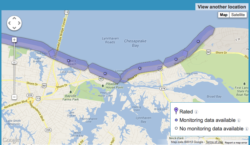
Screenshot of interactive map
Emphasis ours.

How are we to find out about the closures? The only way I find out now is by the news on TV. Too late for those who are at the beach, or do not watch the news.
If the city would send out alerts as it does for rabid animals , etc……we could have someone from the condo assoc put put out flags.
Great idea!
Contact the City. Sounds like a great idea for their VBAlert system.